LiDAR Scanning Services
LiDAR Scanning Services
In the world of modern construction, architecture, and infrastructure management, precise data is everything. High-density laser scanners, commonly known as LIDAR (Light Detection and Ranging), have transformed the way professionals capture, analyze, and utilize spatial information. AeroSpect NY leverages state-of-the-art LIDAR technology to provide detailed 3D scans that support everything from building inspections to complex modeling projects. For architects, engineers, developers, and facility managers in New York City, AeroSpect NY’s LIDAR services deliver unparalleled accuracy and efficiency.
What Is High-Density Laser Scanning LIDAR?
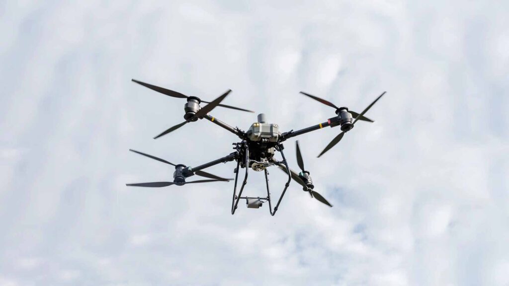
LIDAR is a remote sensing method that uses laser light pulses to measure distances to surfaces. High-density laser scanners emit millions of laser pulses per second, capturing precise point clouds that represent the shape and features of scanned objects or terrain. The result is a highly detailed 3D digital representation of the environment or structure, known as a point cloud.Unlike traditional photography or manual measurements, LIDAR can capture complex geometries, penetrate certain obstructions like vegetation, and operate effectively in low-light or nighttime conditions. This makes it an invaluable tool for detailed spatial analysis and modeling.
How Does Our LiDAR Scanning Process Work?
We begin by assessing your project goals and site conditions to determine the optimal LiDAR equipment configuration, including selecting the right LiDAR equipment and determining sensor placement and scanning routes, to capture the most accurate data efficiently.
Using high‑density laser scanners, we emit millions of laser pulses per second to measure distances accurately to surfaces and objects. These pulses generate an extensive point cloud that accurately captures the shape and features of the scanned environment.
Yes. Our drones are equipped with advanced navigation, obstacle avoidance, and fail-safe systems to ensure secure and precise deliveries. Flights are conducted in accordance with applicable regulatory requirements.
We convert the processed point cloud into useful outputs such as 3D models, contour maps, and spatial analyses. These deliverables are provided in formats compatible with your CAD, BIM, or GIS software, allowing you to use them directly for design, inspection, or planning purposes.
Advantages of LIDAR over Traditional Surveying Techniques
LIDAR scanning offers several significant advantages compared to conventional surveying methods:
- High Precision: LIDAR captures millions of data points with millimeter accuracy, allowing detailed visualization of structures and terrain.
- Speed and Efficiency: Drone-mounted LIDAR can scan large areas quickly, drastically reducing time on site.
- Accessibility: Complex, tall, or hazardous structures can be scanned remotely without endangering personnel.
- Versatility: Effective in diverse environments, including dense urban settings, forests, and nighttime conditions.
- Comprehensive Data: Produces dense point clouds that reveal fine details missed by other methods.
Applications of High-Density LIDAR Scanning by AeroSpect NY
Industries We Serve
AeroSpect NY’s LIDAR services are tailored to meet diverse client needs across industries:
- Architecture and Engineering: As-built documentation, façade analysis, and renovation planning.
- Construction Monitoring: Accurate progress tracking and quality control.
- Infrastructure Inspection: Detailed scans of bridges, towers, roads, and utilities.
- Environmental and Urban Planning: Terrain mapping and vegetation analysis.
- Historic Preservation: Precise digital records of heritage sites and monuments.
Safety and Compliance Benefits of Drone-Enabled LIDAR Scanning
By mounting LIDAR sensors on drones, AeroSpect NY minimizes the need for personnel to access dangerous or restricted areas. This remote sensing approach increases safety and reduces liability. Moreover, drone flights are conducted by FAA-certified pilots following all regulations, ensuring legal compliance and minimizing disruptions.
Enhancing Project Outcomes with 3D Models from LIDAR Data
The high-resolution point clouds generated by LIDAR scans are transformed into detailed 3D models that provide invaluable insights. Architects and engineers use these models to:
- Conduct clash detection to prevent design conflicts.
- Validate construction against plans.
- Perform structural analysis with precision.
- Visualize renovations and expansions in virtual environments.
This digital data integration enhances collaboration, reduces costly errors, and supports informed decision-making throughout the project lifecycle.
Why Choose AeroSpect NY for High-Density LIDAR Scanning?
AeroSpect NY combines technological innovation with deep industry experience to deliver exceptional LIDAR services. Our team of certified drone pilots and data analysts ensures:
- Precise data capture with state-of-the-art equipment.
- Customized scanning strategies tailored to each project’s unique requirements.
- Seamless integration of LIDAR data into client workflows.
- Timely delivery of actionable 3D models and reports.
Our commitment to quality and client satisfaction makes AeroSpect NY a trusted partner for high-density LIDAR scanning in NYC.
Future Trends in LIDAR Technology and Applications
LIDAR technology continues to evolve rapidly, with improvements in sensor resolution, flight endurance, and data processing capabilities. Innovations such as real-time point cloud generation and AI-driven analysis promise to further enhance inspection and modeling accuracy. A drone equipped with camera equipment flies over the Williamsburg BridgeAeroSpect NY remains at the forefront of these advancements, ensuring clients benefit from the latest tools to meet their complex project needs.
Schedule Your High-Density LIDAR Scan with AeroSpect NY Today
For architects, engineers, developers, and facility managers seeking precision, speed, and safety in spatial data collection, AeroSpect NY’s high-density LIDAR scanning services provide the ultimate solution. Contact AeroSpect NY today to learn how their advanced drone-enabled LIDAR technology can elevate your next project with detailed 3D mapping and modeling.
Problems We Solve with LiDAR Scanning Services
LiDAR Scanning Services We Offer
- Drone-Based LiDAR Scanning: Capture detailed 3D spatial data of large or hard-to-access sites using drone-mounted LiDAR sensors for efficient aerial surveys.
- Ground-Based LiDAR Scanning: Utilize tripod-mounted high-density laser scanners for precise measurements of structures, interiors, and confined spaces.
- Topographic Mapping: Generate accurate terrain models and contour maps for site planning, construction, and environmental analysis.
- Volumetric Analysis: Measure stockpiles, earthworks, and other bulk materials with high accuracy.


Frequently Asked Questions – LiDAR Scanning
LiDAR scans capture detailed three-dimensional information about surfaces and objects, including terrain, buildings, vegetation, and infrastructure. It measures precise distances by emitting laser pulses and recording their reflections.
Yes, LiDAR technology is widely accessible through providers like AeroSpect Inc. Publicly available data also exists from government agencies for certain regions, but professional services offer customized and high-resolution scanning.
No. LiDAR cannot penetrate solid materials like walls. It only captures the surfaces that the laser pulses directly hit, making it effective for external and visible internal surfaces but not for seeing inside solid structures.
LiDAR cannot detect transparent or highly absorbent surfaces effectively. It also cannot scan through solid objects or underground features without specialized equipment.
Detection range depends on the LiDAR system, sensor specifications, and environmental conditions, but usually ranges from a few meters up to several hundred meters for high-end scanners. Factors like surface reflectivity and atmospheric conditions influence maximum range.
While LiDAR provides highly accurate spatial data, no scanning technology is without limitations. Accuracy can be affected by factors like surface properties, environmental conditions, and equipment calibration, but LiDAR is among the most precise remote sensing methods available.
Yes, LiDAR can detect people and other moving objects within its scanning range as part of the point cloud data, although it may not identify them specifically without additional processing or integration with imaging sensors.
No, LiDAR cannot detect underground utilities directly since it only scans surface reflections. For detecting subsurface features, you may require different technologies, like ground-penetrating radar.