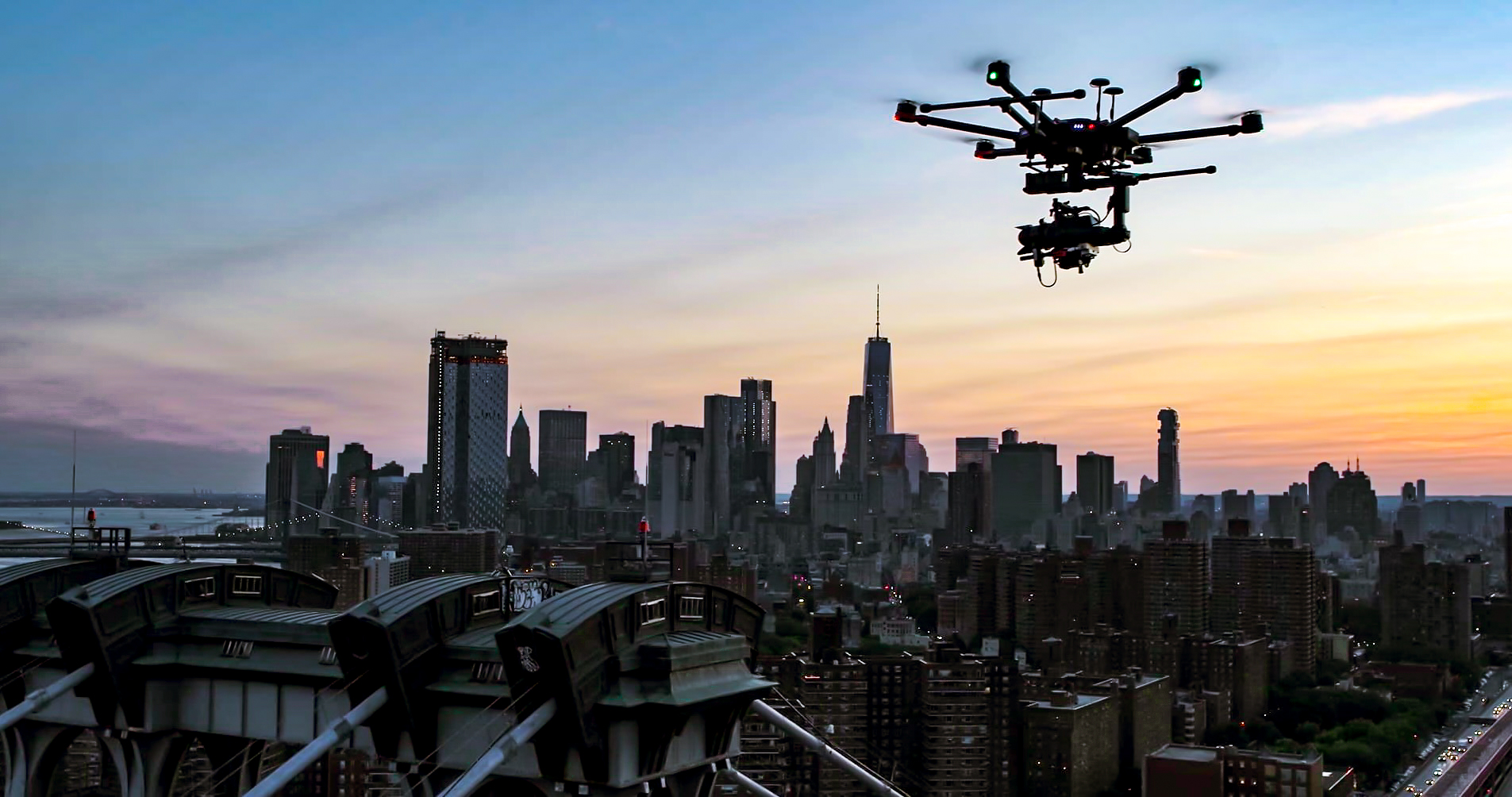
Accident Forensics with a Drone
Accident Forensics with a Drone
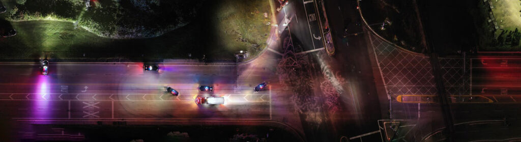
Investigating crashes with drones offers significant benefits. Drones are able to collect data faster,have lower human exposure and typically costs less than other traditional data collection methods. Data collected with drones can be used as trial exhibits to help the court and jury better understand how and why an accident occurred due to enhanced image clarity and real-life detail.
Benefits of Drone Accident Forensics
Drones capture detailed aerial imagery from multiple vantage points, ensuring no aspect of the accident site is overlooked.
Drones capture detailed aerial imagery from multiple vantage points, ensuring no aspect of the accident site is overlooked.
By surveying from the air, drones eliminate the need for personnel to enter hazardous or unstable areas.
High-resolution and time-stamped imagery creates an accurate and verifiable record of the accident scene, providing data that may be used in legal and insurance proceedings.
Drones reduce the time investigators spend onsite and minimize the need for extensive manual labor or heavy equipment, lowering the overall investigation expenses.
How Accident Forensics is Done
Why Choose Drones for Accident Forensics


Frequently Asked Questions – Accident Forensics with a Drone
Drones are highly effective for documenting a wide range of incidents, including vehicle collisions, construction site accidents, industrial mishaps, and property damage. Their ability to capture high-resolution aerial imagery from multiple angles provides investigators with comprehensive visual evidence critical to understanding the circumstances of an accident.
Our drone teams prioritize rapid response and can often be deployed within a short timeframe, subject to conditions and approvals. Early deployment is essential to capture the scene before any changes occur, ensuring the evidence remains accurate and reliable for insurance purposes.
In many cases, yes. The imagery and data collected by drones are time-stamped and captured following strict protocols to ensure accuracy and integrity. This supports admissibility in courts, subject to jurisdictional requirements, supporting claims and legal proceedings with proper documentation.
Drones provide unique aerial perspectives that reveal details difficult to see from the ground. They also reduce the need for investigators to physically enter potentially hazardous areas, preserving safety and speeding up data collection. This process enables quicker and more thorough investigations.
While drones are equipped to operate in a variety of environments, severe weather such as heavy rain, strong winds, or snow can impact flight safety and data quality. We evaluate conditions and schedule flights accordingly to ensure optimal data capture without compromising safety.
While drones excel at capturing detailed visual and spatial data, certain investigations may require physical evidence collection, chemical analysis, or specialized measurements that drones cannot perform. In such cases, drone data complements but does not replace traditional forensic methods.