January 22, 2026 10 min read
NYC Construction: Drones Deliver Real-Time Data to Decisions in 48 Hours
Stop Making Today’s Decisions With Yesterday’s Data
Decisions in 48 hours don’t help when your super needs answers in 48 minutes. It’s 7:00 a.m. in Queens; crews are staged, an RFI (request for information) is open, and yesterday’s drone photos are still processing. Do you hold the crew or gamble? We see it every week. That day-late loop triggers idle time and rescheduling. Rework routinely eats 5–15% of construction cost—most of it born from late or bad data.
Now zoom out to coordination. We’ve watched crane time evaporate over this. Steel shows Friday, crane is booked, and the alley closure is a two-hour window. An outdated site map sends the delivery to the wrong laydown, forcing a second mobilization. That single miss can set a floor back 2–3 days, and burn overtime you didn’t plan.
Pour day is unforgiving. You need pour boundaries, grade, and embed locations confirmed before trucks roll; yesterday’s orthomosaic (stitched aerial map) doesn’t catch a last-minute layout shift. One bad pour can push schedule 3–5 days and trigger saw cuts, extra pumps, and claims. In NYC’s tight windows, that hurts.
Complex Projects, Thinner Margins: NYC Needs a Live, Shared Site Reality
Since 2018, we’ve watched NYC projects compress and margins thin. Liquidated damages (contract penalties for delays) bite, supply swings are weekly, and labor is scarce. When steel lead times slip and weekend windows vanish, you can’t guess. You need a current, shared site truth to manage risk and keep crews moving.
Your teams aren’t all on one floor anymore. Owners want dashboards, PMs (project managers) need auditable photos, superintendents want measurements they can trust, and trades want clear boundaries before mobilizing. Lenders and insurers now ask for verifiable progress. With distributed teams and night/weekend work, everyone needs the same live view—no hunting through email threads or text chains.
Old data quietly taxes your schedule. A two-day lag on grading can misstage materials, burn crane time, and push pours—each hit ripples across trades. Disagreements over quantities stall pay apps, RFIs (requests for information) stack up, and field crews start working from memory. The result is friction between office and site, more rework, and avoidable change orders.
That’s why we turn your jobsite into living, measurable data—accurate, shareable, and integrated—so decisions happen in hours without slowing the work in front of you.
Deciding With Stale or Partial Data Costs You Twice
You’ve seen it: as-builts say one thing, the field shows another. Progress gets disputed, quantities don’t reconcile, and change orders follow mismatched measurements. Late topo (topographic surface) updates hide low spots; a crew pours to the wrong grade and you’re cutting and pumping a week later. Meanwhile, facade access stays risky because you’re sending people to peek from lifts instead of reviewing close-up, geotagged imagery. The pattern is avoidable, but only with current data.
Different scene, same problem: utilities. An unupdated plan misses a relocated conduit; excavation hits it, and the electrical subcontractor halts work. Masonry can’t set, sitework can’t backfill, and the crane window slips. In tight NYC alleys, remobilizing a specialty crew can take 3–5 days and thousands in standby. One missed conflict sets off a chain reaction across five trades and two schedules.
Communication breaks down when data isn’t anchored to place and time. Phone photos live in text threads, Drive folders lack geotags, and markups float on week-old plans. The office closes an RFI (request for information) with a redline for Grid C, but the field already shifted layout to Grid D. Crews build, then rebuild. Morale drops, and meetings swell instead of solving.
Stack those hits and you’re paying twice: 5–15% in rework, lost crane hours, liquidated damages, and safety exposure. Worse, trust erodes. Decisions slow, risks rise, and your contingency evaporates before mid‑project.
Traditional Capture Can’t Keep Up With NYC Jobsite Speed
Here's a quick comparison across speed, accuracy, safety, and integration—including RTK/PPK drones (real-time/post-processed kinematic, high-precision GPS correction) and BIM/CAD/GIS (design and mapping software)—so you can see where traditional methods fall short.
| Method | Turnaround | Accuracy | Safety Exposure | Integration Fit |
|---|---|---|---|---|
| Ground survey (total station) | Days to weeks | High but limited coverage | On-foot exposure | Manual CAD handoff |
| Manual phone photos | Same-day but inconsistent | Unreliable geometry | Ladders/elevations | Poor traceability |
| Manned aircraft flyover | 1–2 weeks | Good at macro scale | Airspace/logistics | Costly, not frequent |
| Satellite imagery | Days to weeks | Low for site detail | None | Not construction-grade |
| RTK/PPK drone survey | Same day to 48–72 hours | Sub-inch to centimeter-level | Remote vantage | Direct BIM/CAD/GIS export |
The Aerial Capture Pipeline That Turns Your Site Into a Living Dataset
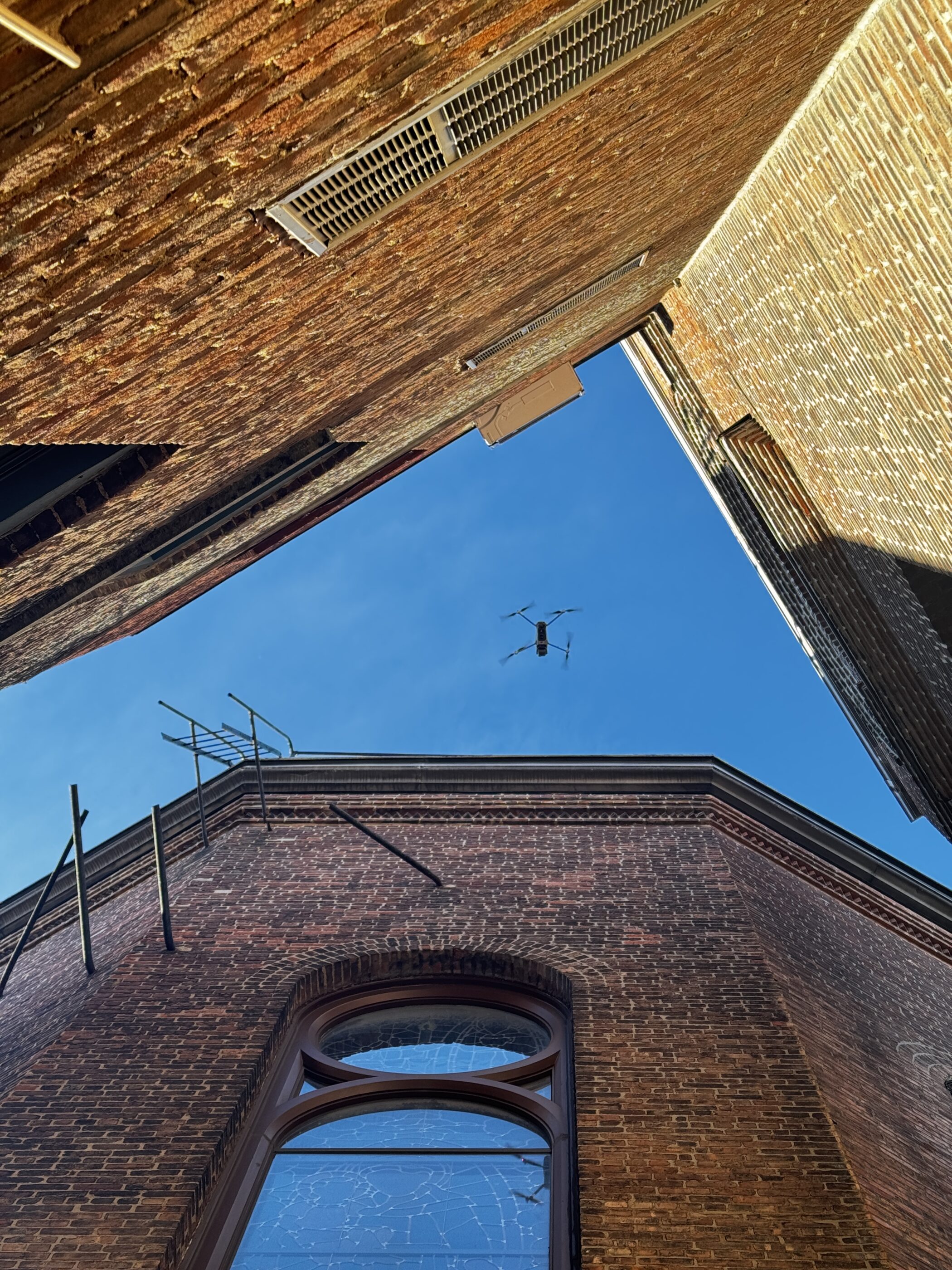
So if RTK/PPK (real-time/post-processed kinematic GPS correction) flights promise direct BIM/CAD/GIS export (building information modeling/computer‑aided design/geographic information system), we turn that into decisions. We handle NYC flight planning, capture, and processing—orthomosaics, 3D meshes, and DSM/DTM (surface/terrain models). Then we deliver a cloud viewer within 48 hours. No shutdowns, no crane interference—just safe, non‑disruptive ops from rooftops or perimeter.
Your team reviews on iPads in the field while the office marks up from desktops. Every capture is versioned, georeferenced (tied to real-world coordinates), and shareable with permission controls. Measure areas, volumes, and distances instantly, then tag RFIs (requests for information) and punch items to locations. Everyone sees the same truth. Fast.
Here’s the short list your supers and project engineers (PEs) lean on daily—the deliverables that move drawings, pours, and pay apps forward without meetings.
- Orthomosaics: High-resolution plan views for progress tracking, quantity takeoffs, and layout verification.
- Point clouds: Accurate geometry for clash checks, takeoffs, and defensible as-builts.
- 3D textured models: Photoreal context for coordination, sequencing, and owner updates.
Cut/fill maps: Live earthwork tracking, volume deltas, and payment verification. - Thermal imagery: Envelope, HVAC (heating/ventilation/air conditioning), and moisture diagnostics to prevent rework.
- Progress overlays: Week-over-week visual diffs to flag variances and document recovery.
Our drone construction inspection playbook speeds RFIs and sign‑offs: annotated overlays, geotagged photos, and ready-to-share PDFs (portable document files) cut responses from days to hours, so supers keep crews moving and owners get confidence.
Trustworthy by Design: Accuracy, Sensors, and Integrations That Hold Up
We fly RTK/PPK (real-time/post-processed kinematic GPS) and set GCPs (ground control points) to lock accuracy. Photogrammetry imagery delivers 2–5 cm horizontal and 3–7 cm vertical; LiDAR (laser scanning) captures complex geometry and canopy gaps. We produce DSM/DTM (surface/terrain), point clouds, and meshes, then export LAS/LAZ (point cloud), OBJ (3D mesh), and DXF (CAD drawing). Models align to your site control and push cleanly into BIM/CAD (building information modeling/computer‑aided design) and GIS (geographic information system).
Depending on scope, we choose RGB (standard color), thermal (heat mapping), or LiDAR sensors. Expect repeatable, survey-grade outcomes: imagery-based deliverables typically 2–5 cm, LiDAR relative precision 1–3 cm with strong GCP ties. Data stays interoperable—IFC (open BIM), DWG (AutoCAD drawing), and shapefiles (GIS vector)—so estimators, VDC (virtual design and construction), and inspectors work from the same source across Procore, Autodesk Construction Cloud, and Navisworks.
Quality is baked in: calibrated sensors, cross‑hatch and redundant flight paths, GCP residual checks, and documented change logs. We maintain chain‑of‑custody, version control, and audit trails owners and insurers accept—so your records stand up in meetings, claims, and closeout.
Flight Tuesday. Decisions Thursday. Our 48‑Hour Workflow.
Those audit trails and chain‑of‑custody are baked into our cadence. We handle planning, flight, and processing; you review and act. Want to see decisions inside 48 hours? Here’s the exact split—no downtime, no drama.
Step 1: Discovery + scope: Define KPIs (key performance indicators), deliverables, and airspace constraints; align schedule windows and success criteria.
Step 2: Flight planning: Establish RTK (real-time kinematic) baseline, GCP (ground control points) plan, and site safety briefing with stakeholders.
Step 3: Capture: Fly non‑disruptive missions; rooftop LZs (landing zones), spotters, tethered operations/night flights; align with crane windows and deliveries.
Step 4: Processing: Generate orthomosaics, point clouds, and overlays; run QC (quality control), accuracy checks, metadata, and versioning per chain‑of‑custody.
Step 5: Delivery: Provide cloud portal access, viewer links, and BIM/CAD (building information modeling/computer‑aided design) exports aligned to site control.
Step 6: Review: Walk through punchlist, support RFIs (requests for information), sync issues, and set baseline metrics for next capture.
Cut Rework 8% and Saved 7 Days on a 450,000 SF NYC Build
Those baseline metrics from Step 6 are exactly how we ran this NYC pilot. A 450,000 SF mixed‑use in Brooklyn, weekly captures for 10 weeks, 48‑hour viewer every time. By week 3, the overlays flagged a 13,200 CY (cubic yard) earthwork variance. We course‑corrected quantities and haul plans the same day—resulting in ≈8% rework reduction and 7 days saved.
Concrete pours hit on schedule because pour boundaries and embeds were validated against the ortho (stitched aerial plan) the day before. RFI (request for information) response time fell 60%—from 5 days to 2—using annotated, geotagged photos. Pay app quantities reconciled on first pass after we pushed measurements into Procore (construction management platform). Subs adopted the viewer in week 2; coordination meetings shrank to 20 minutes. And we stayed DOB (Department of Buildings) and FDNY (Fire Department) compliant throughout—more on how we bake safety in next.
For vertical handovers and as‑builts, our aerial building inspections deliver close‑ups, heat maps, and defensible photo logs owners and inspectors accept.
Those gains translated into first-pass pay app approvals and fewer disputes—clean visuals, defensible quantities, and auditable histories shortened reviews and kept everyone aligned.
Proactive Risk Management, Not Just Aerial Photos
Those clean visuals and defensible quantities do more than speed pay apps—they lower exposure. We replace swing-stage and lift work-at-height with close-in imaging and thermal scans for hazard identification (ID). Supers pre-plan tasks in 10 minutes using annotated views. You get timestamped documentation for OSHA (Occupational Safety and Health Administration) or owner audits. All flights are run by FAA (Federal Aviation Administration) Part 107 pilots (commercial license) with night-operation waiver expertise, so rooftop landing zones, tethered operations, and tight windows stay compliant.
Compliance is baked into the workflow: DOB (NYC Department of Buildings) and FDNY (Fire Department of New York) coordination, site‑specific safety plans, and geofenced flight paths. We maintain chain‑of‑custody, version control, and audit trails that stand up in meetings, claims, and closeout. Privacy matters too—adjacent properties are masked, access is permissioned, and data retention follows your policy. The result? A visible safety culture where weekly captures drive toolbox talks, close calls get flagged early, and corrections are documented in minutes, not days.
For a programmatic safety cadence, our aerial inspection services deliver scheduled flights, exception-based reports, and shareable evidence—so hazards are spotted early and compliance stays current without adding crew exposure.
Shareable Evidence, Shared Decisions: One View That Cuts Friction and Delays
Those scheduled flights and shareable evidence turn into a single, permissioned viewer everyone trusts. You move faster because reviews, RFIs (requests for information), and pay apps anchor to the same map, photos, and measurements.
- Owner updates: Timestamps and progress overlays cut status calls; one dashboard shows week‑over‑week gains.
- Sub coordination: Layouts and embed locations verified on the ortho (stitched aerial plan) before pour day.
- RFI (request for information) acceleration: Annotated ortho links attach to tickets; closures drop from days to hours.
- Inspection docs: Time‑stamped captures and geotagged photos feed closeout binders and audit trails.
Marketing: Share photoreal 3D views for leasing decks and community board meetings.
Smarter Data, Smaller Footprint: Progress Intelligence That Cuts Emissions and Cost
Those photoreal 3D views don’t just win meetings; they cut truck rolls and waste on the ground. With targeted deliveries and remote verifications, teams make 20–30% fewer site walks, staging is right the first time, and rework drops. Track it like any KPI: avoided trips (VMT, vehicle miles traveled), fewer mobilizations, scaffold days reduced, cubic yards of rework prevented, and fuel saved. Fewer drives, less idling, smarter pours. Your schedule and your footprint both shrink.
We log and report these wins in plain English. Monthly ESG (environmental, social, governance) snapshots show CO2e (carbon‑dioxide equivalent) avoided from reduced VMT, material waste diverted, and access-equipment hours saved. You’ll see the budget impact too: fewer remobilizations, lower fuel and rental spend, and less overtime. We provide a simple export for owner, lender, and insurer packages, so sustainability and cost control are documented side by side.
Urban‑Proof Drone Ops for Facades, Towers, and Tight Sites
So how do you keep that side‑by‑side documentation when the work moves to facades in Midtown—tight airspace, occupied units, zero tolerance for guesswork? We fly close‑range facade passes for expansion joints, sealant lines, anchors, and hairline cracks, no swing stages needed. Repeatable flight paths (same route, same altitude) turn anomalies into trendlines you can prove. We plan around NYC heli routes (common helicopter corridors) and controlled airspace near airports, using rooftop launch zones and trained spotters.
On towers, bridges, and stadium bowls, precision and documentation make or break schedule. Where GNSS (satellite positioning like GPS) is spotty, we switch to visual navigation and set ground control points for centimeter‑level alignment. Thermal passes verify envelope hot spots before sign‑off; LiDAR (laser scanning) captures steel geometry and as‑built clearances for conflict checks. Expect annotated, time‑stamped photo logs and measurement exports that slot into your BIM/CAD workflows, so RFIs close in hours, not days.
See how our drone facade inspection service complements weekly progress flights with close‑range imaging, repeatable paths, and annotated logs—so you capture defects early and prove fixes without adding risky access.
Ready to turn those facade passes and weekly flights into your data‑first construction plan?
In 20 minutes, we’ll scope your first flight and define the essentials—cadence, accuracy targets, deliverables, integrations—and lock KPIs you’ll measure from day one: RFI speed, rework, days saved.
- Cadence: Weekly, biweekly, or milestone flights aligned to pours, inspections, and pay apps.
- Accuracy: RTK/PPK targets 2–5 cm; GCPs where GNSS is weak; control tied to site.
- Deliverables: Orthomosaics, point clouds, progress overlays, 3D models, thermal maps, and cut/fill.
- Integrations: Procore/Autodesk syncing; IFC, DWG, and LAS/LAZ exports for BIM/CAD viewers.
- KPIs: RFI turnaround, rework %, days saved, avoided trips, pay app cycle time.
Get Expert Help
Let's discuss your site and timeline
Message Sent!
Thank you for reaching out.
We'll get back to you shortly.